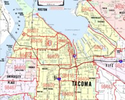
Free downloads of Kroll’s Arterial ZIP Code maps for a limited time!
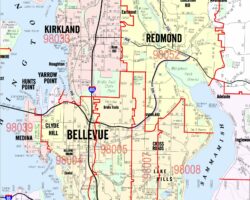
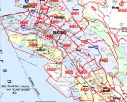
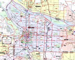
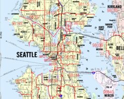
Click on a map image for a closer look…
Kroll Map Company meticulously crafts All Arterial ZIP Code (ZCTA) maps, ensuring accuracy through the incorporation Geographic Information System (GIS) data and on-site field checks. These maps are comprehensive visualizations of urban landscapes, offering a wealth of information for diverse purposes. These high-quality arterial maps highlight key features as well as ZIP Code information including major streets, neighborhood names, city limits with distinctive color fills, county boundaries, parks, and other notable landmarks.
Kroll Map Company offers high-resolution prints; interested parties can request these prints by contacting us. We also provide customized mapping solutions, allowing clients to incorporate their specific data into the maps.
The ZIP Code boundaries depicted on these maps are an interpretation derived from various federal and local government sources, acknowledging the complexities and occasional discrepancies in ZIP Code Tabulation Areas (ZCTA). These maps are intended for general reference purposes only, and users should be aware that there are no expressed or implied warranties regarding their usage.
We offer expanded coverage for arterial maps in specific regions such as Western Washington, Portland Metro, and the San Francisco Bay Area. Kroll Map Company combines accuracy, detail, and customization to meet the mapping needs of a diverse clientele.
