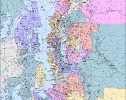
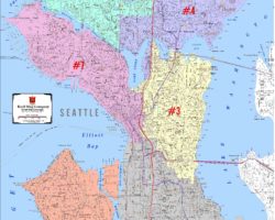
Congressional District Maps, Voter Precinct Maps, Legislative District Maps and Census Tract Maps are some of the map layers we create and maintain for our customers. We layer the most up-to-date political data available on our beautiful, clear map bases for individual cities, counties, states and the United States. In some cases (primarily precinct maps) there may be additional charges involved in processing the GIS files.


